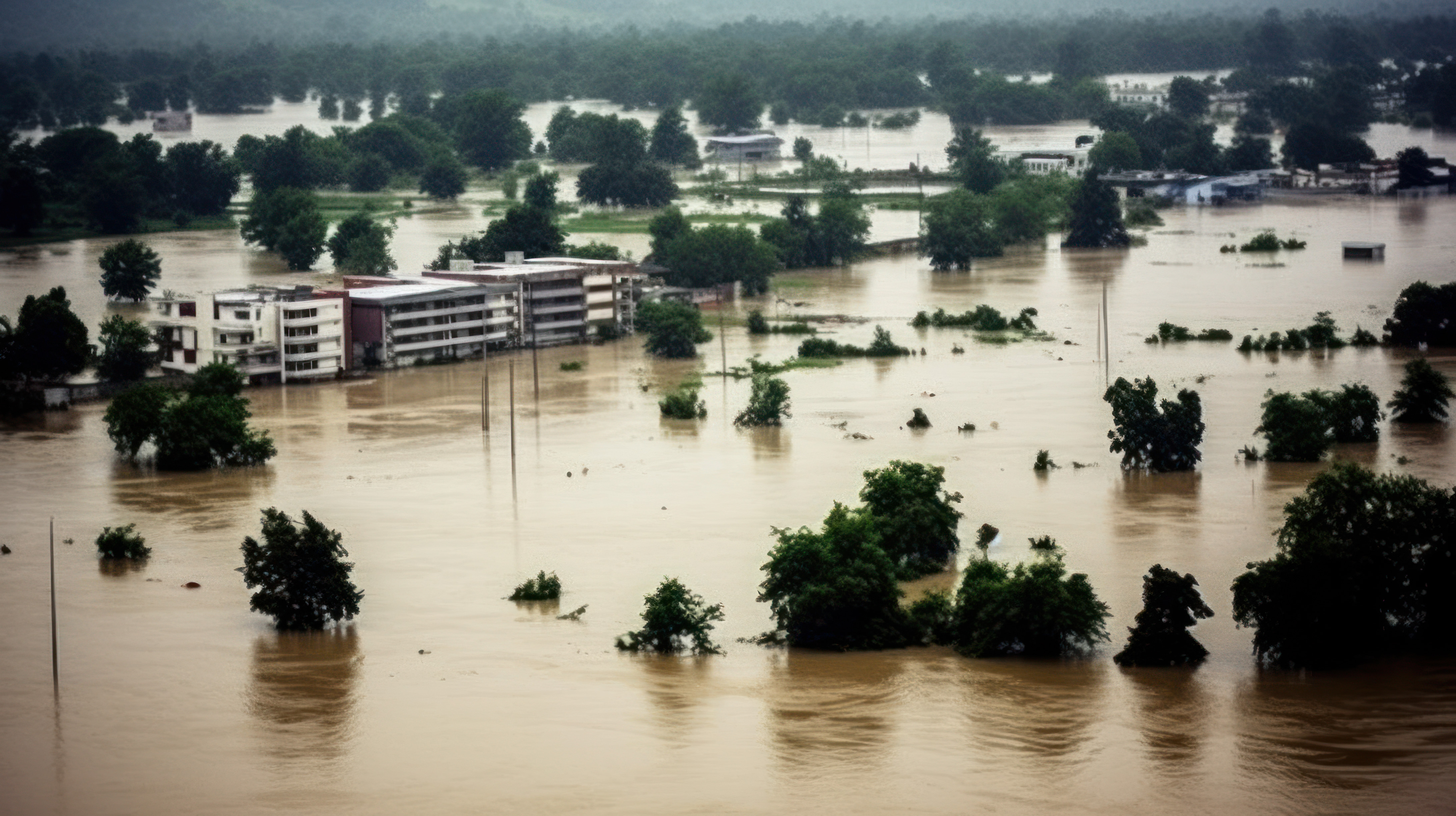
The Kakhovka Dam in southern Ukraine was destroyed on June 6, 2023. The event unleashed a catastrophic flood that forced thousands of residents to evacuate their communities as water levels rose 10 feet above normal.
For most floods caused by dam or reservoir breaks, known as outburst floods, current data is nearly impossible to find. By the time researchers can safely reach the site, only the aftermath remains. But in the case of Kakhovka, a newly launched NASA satellite happened to be collecting measurements over the region, providing a unique view of the flood in real time.
Using those observations, Georgia Tech researchers tested how well existing outburst flood models reproduced the actual event. The results revealed a discrepancy: The models consistently underestimated flood conditions. Even improved models struggled to accurately capture both the height and timing of floodwaters.
The findings suggest that commonly used flood simulations may not fully capture the dynamics of large outburst floods. Models need improvement to be effective for hazard assessment and emergency planning.
Putting Models to the Test
Flood models are essential for estimating how deadly and costly outburst floods can be.
“Models allow us to understand which communities could be affected by an outburst flood,” said Karl Lang, an assistant professor in the School of Earth and Atmospheric Sciences. “They also help us estimate how long floodwaters will remain on the landscape. In many places, prolonged flooding can be just as devastating as the initial event because it can damage infrastructure, disrupt livelihoods, and contribute to public health risks.”
Until recently, however, scientists didn’t have a way to evaluate how accurate the models were. But when NASA launched its Surface Water and Ocean Topography (SWOT) satellite, a serendipitous opportunity arose. The satellite passed over the Kakhovka flood zone repeatedly during and after the dam failure, producing detailed daily measurements across the flood plain. SWOT uses two antennas and a technique called interferometry to measure water elevation with approximately 10-centimeter accuracy across rivers, lakes, wetlands, reservoirs, and oceans.
“SWOT doesn’t observe every flood that happens, but when it does, it provides exactly the information we’ve needed to understand how floodwaters move across the landscape,” said Tamlin Pavelsky, professor at the University of North Carolina at Chapel Hill. “Those observations help us improve computer models used to anticipate future flood events.”
Reality Versus Simulation
Researchers compared the satellite observations with models that simulate depth and spread of flooding. They found that models relying on commonly available global data consistently simulated floodwaters that were lower and slower than those SWOT observed.
The team then improved the model inputs by incorporating more realistic estimates of the reservoir and river-bottom topography. Those changes brought model results closer to real-world conditions, but they still failed to accurately reproduce both flood height and flood timing simultaneously.
“It’s really challenging to collect real-world data from these huge floods because they’re so localized, unpredictable, and energetic,” said Karin Lehnigk, a postdoctoral fellow and lead author of the study. “Because SWOT gave us a new image every day covering the entire flood path, we could compare the model with real-world conditions across many locations and points in time in ways that previously were only possible in a laboratory.”
The results suggest model limitations extend beyond simply having better maps of reservoir depth or river channels. Instead, they point to broader challenges in how scientists simulate large outburst floods and their movement across complex landscapes.
As aging infrastructure, extreme weather, and other hazards increase flood risks around the world, researchers say better models are essential for helping communities prepare for the floods.
This research was funded by NASA and the Partnership for an Advanced Computing Environment at Georgia Tech.
CITATION: Lehnigk, K.E., Pavelsky, T.M., & Lang, K.A. (2026). SWOT satellite observations of the Kakhovka Dam break flood highlight limitations of outburst flood models. Geophysical Research Letters, 53, e2025GL120832. https://doi.org/10.1029/2025GL120832
Related Media
AdobeStock_611532639.jpeg
For More Information Contact
Tess Malone, Senior Research Writer/Editor